 geo.be Metadata Catalog
National Geographic Institute
Type of resources
Available actions
Topics
INSPIRE themes
federalThemes
Keywords
Contact for the resource
Provided by
Years
Formats
Representation types
Update frequencies
status
Service types
Scale
Resolution
-

This web service allows viewing CORINE High Resolution Layers Belgium covering the Belgian territory within the framework of a Pan-European coverage. This service is compliant with the INSPIRE specifications.
-

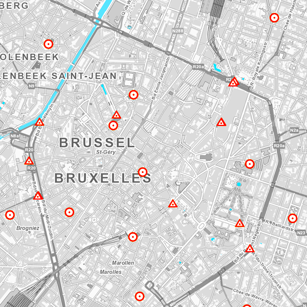
This web service allows viewing the territorial divisions that represent fully recognised Belgian geographical units. The AdminVector dataset encompasses the statistical sectors defined by the FPS Economy, the administrative units maintained by the FPS Finance and their centres, as well as the boundary stones. The datasets of the judicial cantons and judicial districts are built on the basis of their definition in the Judicial Code. The dataset of electoral cantons is built on the basis of its definition in the Electoral Code. The postal cantons dataset is based on the boundaries of the Belgian postal codes managed by bpost.
-

The entities included in the dataset represent the Belgian hydrographic network in the sense of the Inspire European directive. The dataset comprises one sole WaterCourseLink class and is in accordance with the INSPIRE specifications. The WaterwayLink class represents, in a linear manner, all of the waterways in the Belgian hydrographic network.
-
Network of marks whose planimetric coordinates are known with precision according to the reference systems which are used in Belgium.
-
Top10Vector – Hydrography is the data set of the Belgian hydrography. This data set includes six classes. First class: waterway kilometre markers of the Belgian navigable waterways. Second class: watercourse surfaces. Third class: watercourse segments. Fourth class: water points, which means points where the water arrives at the surface or disappears into the subsoil. Fifth class: wetlands, which means zones where the soil is saturated or regularly flooded. Sixth class: water surfaces. This data set can be bought via the corresponding hyperlink.
-

The European Urban Atlas provides reliable, inter-comparable, high-resolution land use and land cover data for 800 Functional Urban Area (FUA) for the 2012 reference year in EEA39 countries. This datasets contains the FUA for Belgium (Antwerpen, Brugge, Bruxelles_Brussel, Charleroi, Gent, Kortrijk, Leuven, Liege, Mons, Namur and Oostende).
-
This dataset contains a matrix of distances between all Belgian municipality centres as defined in the AdminVector product. The distance is in km and is rounded to an integer.
-

This web service allows viewing the Belgian topographical vector data as established by the National Geographic Institute. It gives an overview of the data sets of the Top10Vector-series which can be purchased.
-

The Copernicus Urban Atlas (UA) provides European, comparable and detailed land use and land cover maps for the main Functional Urban Areas (FUAs). The Urban Atlas Street Tree Layer (UA-STL) is a separate layer of the Urban Atlas 2012. It includes contiguous rows or patches of trees covering 500 m² or more with a minimum width of 10 m within the urban mask of the Urban Atlas 2012. Gaps between tree patches or within a larger patch that are less than 10m wide are included in the Street Tree Layer. There is no thematic content other than the presence or absence of trees. The UA-STL is a new product and no accuracy threshold was provided as part of the Urban Atlas specifications. The UA STL product validated currently covers just over 7% of the total UA2012 area.
-

Orthophotos are digital aerial photographs that have been adjusted for lens distortion, topographic relief and camera tilt. This cover is renewed every three years.The orthophotographs have a minimal resolution of 50 cm. The dataset is generated from the harmonisation of the datasets owned by the Belgian administrative regions.The dataset is INSPIRE compliant. The dataset is downloadable per NGI mapsheet at scale 1:50000.